


Bringing facility managers, vendors, and tenants together in a shared AI-powered 3D workspace.


.svg)
.svg)


.svg)
.svg)


.svg)
.svg)


.svg)
.svg)


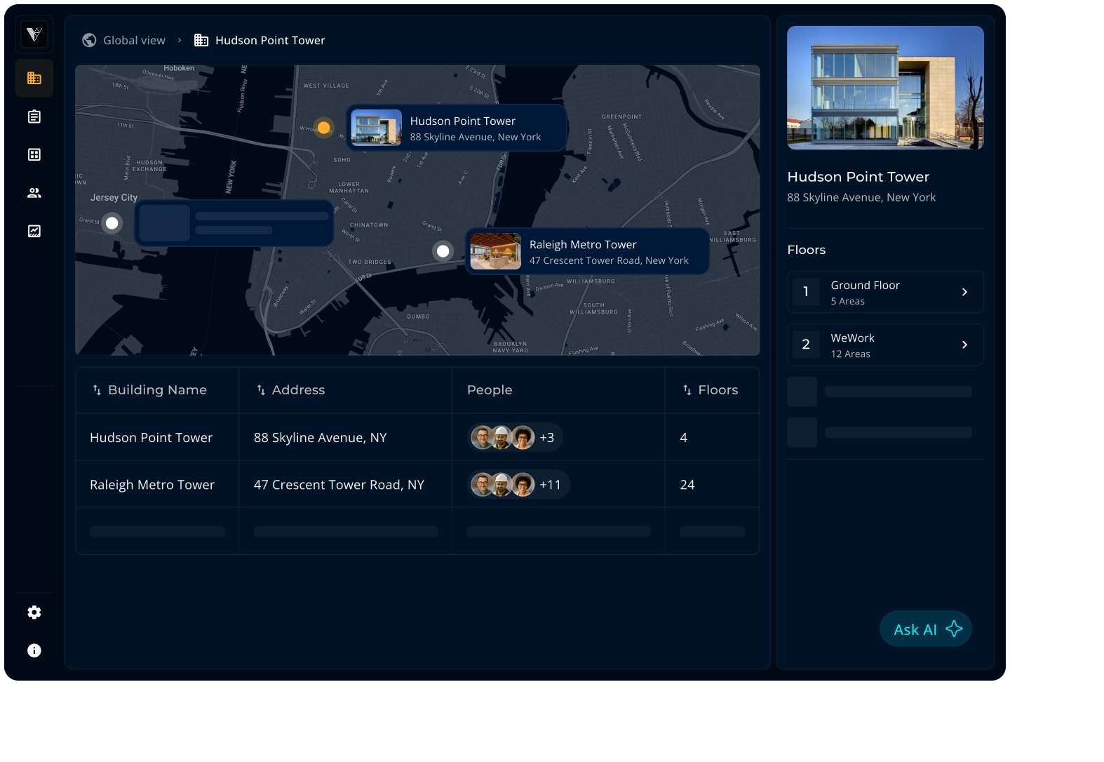

Manage properties in multiple locations.

Share with team, vendors, and tenants.

Access via web browser and mobile app.

AI assistant that understands buildings.

Oversee all operations • Access anywhere
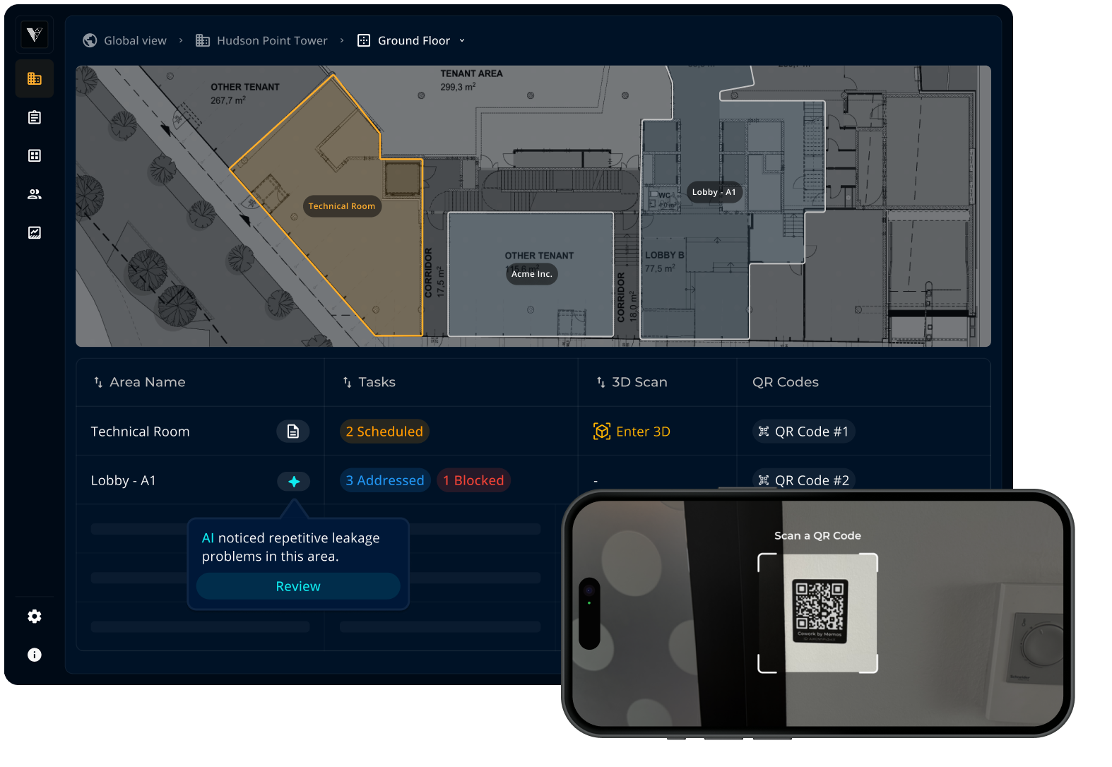

Link tasks and documents to areas/assets.

Manage preventive maintenance checklists.

Enable easy access on site with QR codes.

Spot-on AI insights with location context.

Avoid costly repairs • Reduce downtime
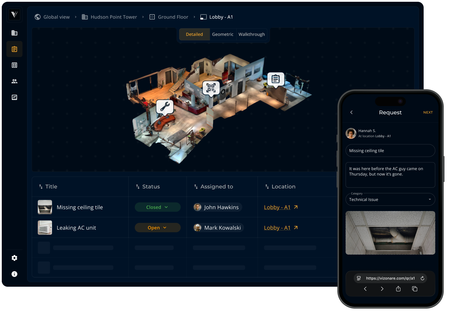

Tenants report issues via QR codes, no app.

Vendors have all context to get work done.

Facility managers have a complete overview.

AI helps predict issues & optimize resources.

Faster response times • Satisfied tenants
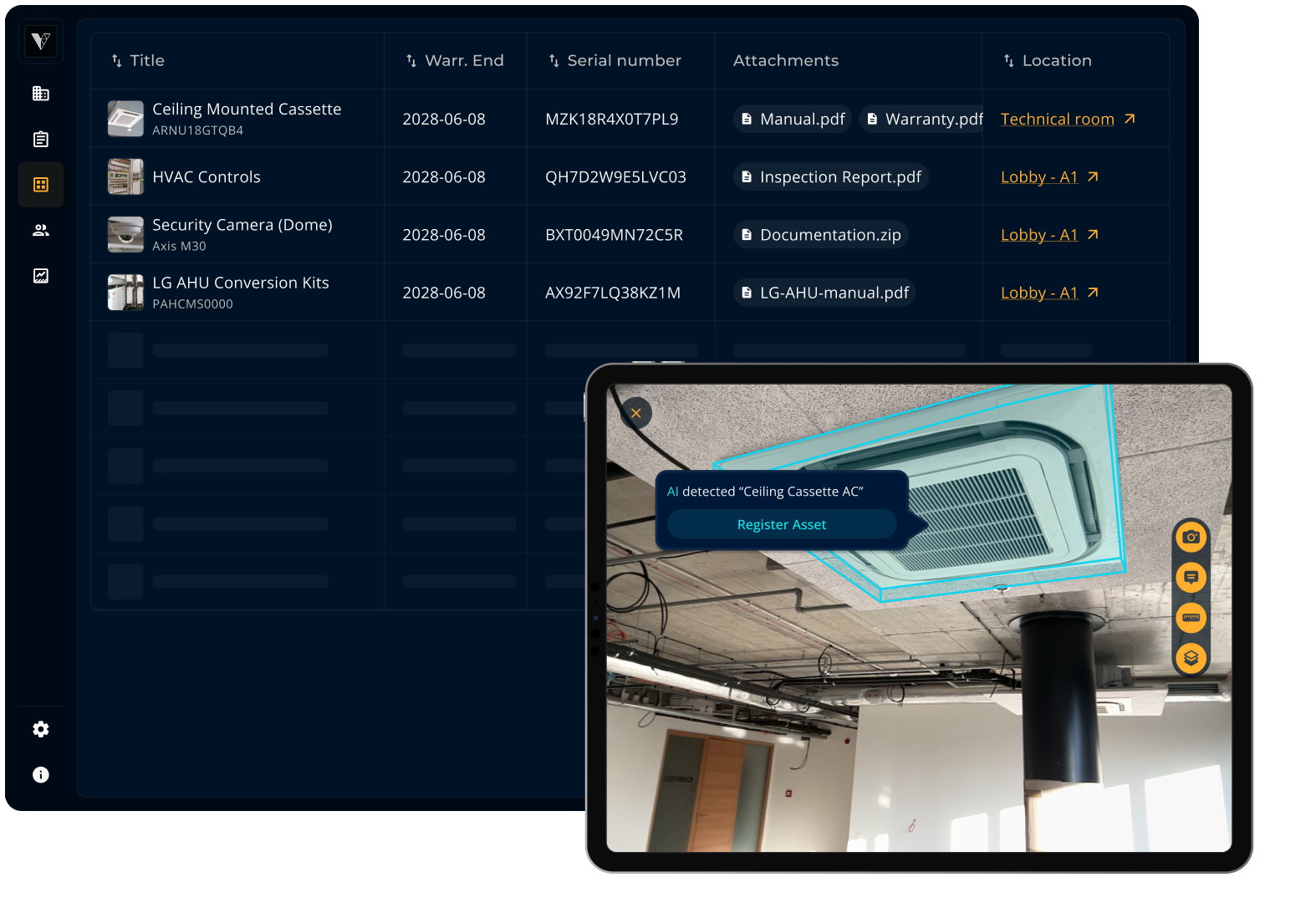

Centralize your asset list across facilities.

Locate assets quickly on 2D or 3D maps.

Attach manuals, warranties, documents.

Register assets quickly with Physical AI.

Easier upkeep • Save time spent on admin


Tour sites from the comfort of your desk.

Create virtual tours with an iPhone/iPad.

Plan & measure with geometric precision.

Made simple with our Physical AI engine.

Cut site visits • Solve problems remotely
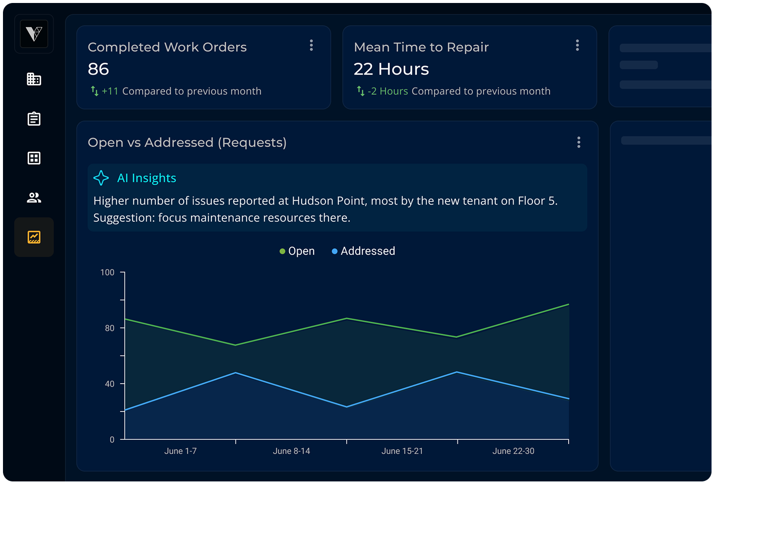

Track team and vendor performance.

Enrich your data with location intelligence.

Allocate resources at the right place and time.

AI pinpoints bottlenecks and offers advice.

Automate reporting • Track your KPIs
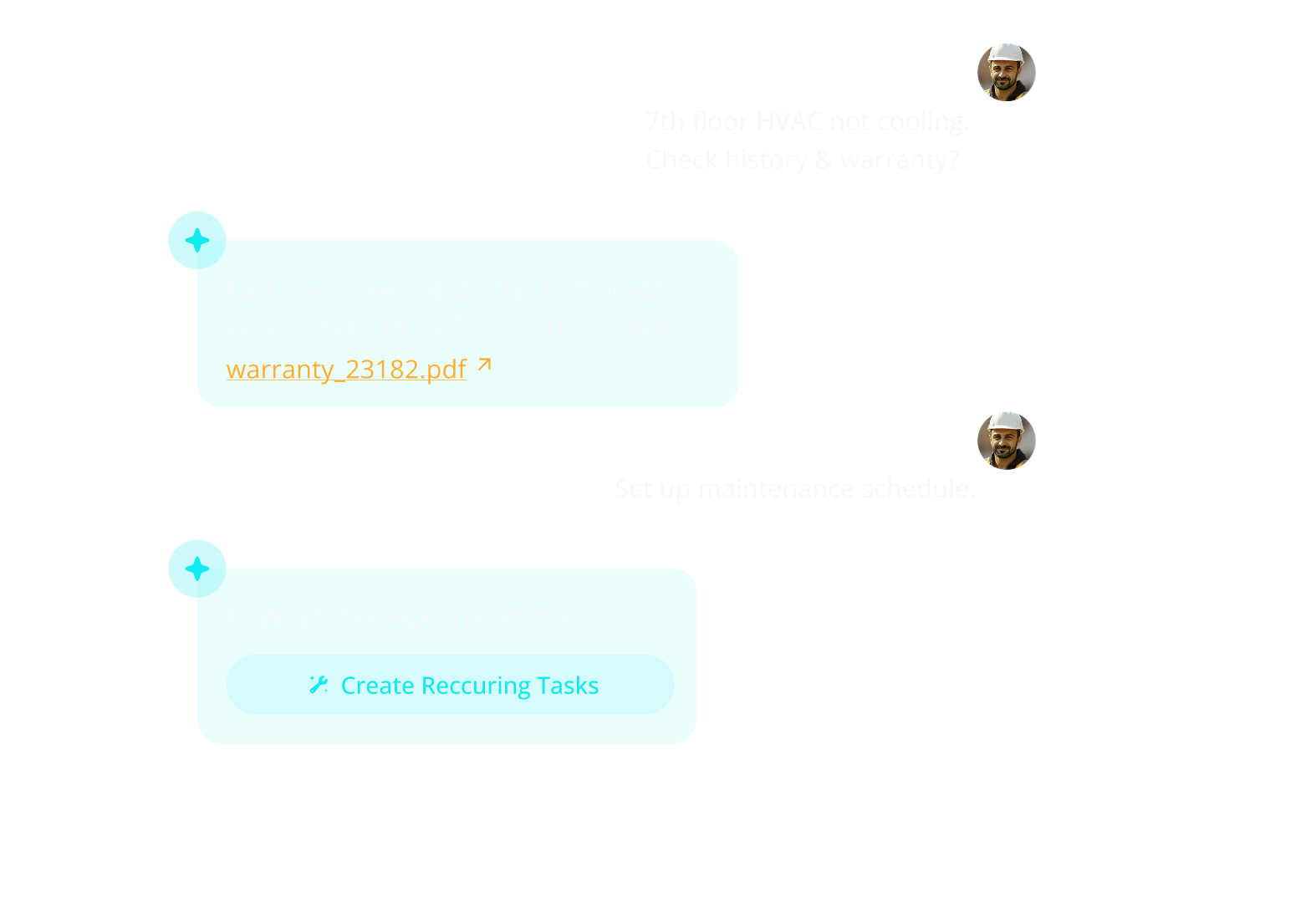

Built-in AI assistant always ready to help.

Instantly get to the right data & documents.

Offload routine tasks and scheduling.

AI chat made for facility management.

Save time • Get answers fast

I used to lead hardware installations for enterprise customers including on-site […]
I used to lead hardware installations for enterprise customers including on-site […]